

Mardi Himal Trek Itinerary: A Detailed Guide for First-Timers
Preparation and Permits The Mardi Himal Trek calls for proper planning and the correct permits. Trekkers must follow […]
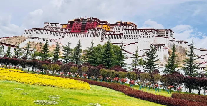
Essential Things to Know Before Tibet Tour: Your Complete Guide
What Not to Expect During a Tibet Tour While Tibet offers breathtaking landscapes and profound spiritual experiences, setting […]

Luxury Everest Base Camp Trek Itinerary: Your Ultimate Guide to a High-End Himalayan Adventure
Luxurious Accommodation Options for Your Trek A well-structured luxury Everest Base Camp Trek Itinerary focuses on comfort, style, […]

Wadi Ghul: A Complete Guide to Oman’s Grand Canyon – Adventures, History, and Scenic Wonders
Photography and Scenic Spots For those who love photography, the beauty of Wadi Ghul is one place that […]

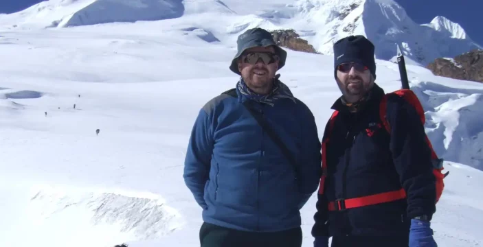
Mera Peak Climbing Permit: Comprehensive Guide for Aspiring Climbers
Best Time to Climb Mera Peak and Permit Availability Planning your Mera Peak Climbing time is essential for […]
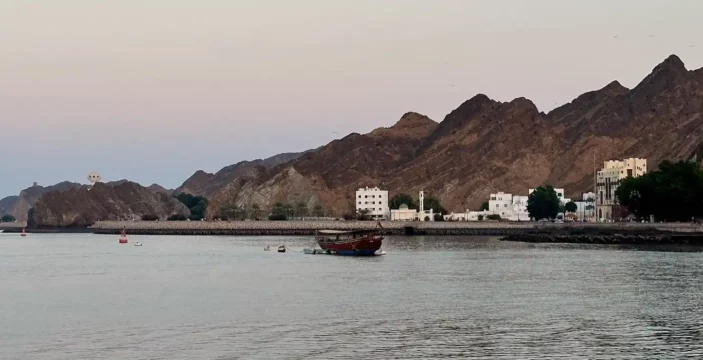
Exploring Mutrah Souq: A Journey through Oman’s Oldest Market
Eating and Refreshments at Mutrah Souq A visit to Mutrah Souq offers more than just a shopping experience; […]
A Comprehensive Guide to the Mera Peak Route Map and Trekking Itinerary
Altitude and Acclimatization Ascending to high altitudes like those found on Mera Peak requires careful planning and awareness. […]

Ultimate Mera Peak Climbing Itinerary: Your Complete Guide to Success
Climbing Routes for Mera Peak Choosing the correct climbing route is crucial for a successful Mera Peak Climbing […]

Conquering the Challenges: A Comprehensive Guide to Lobuche Peak Climbing Difficulty
Best Time to Climb Choosing the right season is crucial for effectively managing the Lobuche Peak Climbing Difficulty. […]