The Annapurna Circuit Trek Map guides you through one of the world’s most renowned trekking routes. Situated in the heart of Nepal, this circuit captures adventurers’ hearts with its varied landscapes and rich cultural heritage. More than just a path, it serves as your gateway to the majestic Himalayas.
Little by little, the trip takes 12 to 21 days and covers about 160 to 230 kilometers, depending on your route and any extra trails that may be available. This method allows one to completely appreciate the beautiful natural landscape and rich culture of the Annapurna area in a relaxed manner.
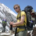
Famous for its stunning views and the challenging Thorong La Pass, the Annapurna Circuit combines a physical challenge with a profound spiritual experience. A comprehensive Annapurna Circuit Trek Map is essential as you navigate vibrant rhododendron forests, stark mountain terrains, and quaint traditional villages.

Detailed Map Description for the Annapurna Circuit Trek
Access to a detailed and high-resolution map is essential when navigating the Annapurna Circuit. The Annapurna Circuit Trek Map outlines the established routes and presents alternative paths, catering to varying levels of adventure and physical fitness.
Key Routes and Alternatives
The Annapurna Circuit Trek Map displays the primary circuit while detailing alternative routes. These options allow trekkers to personalize their experience by extending the trek to explore lesser-known areas or finding shortcuts. The map marks key junctions, helping you decide whether to stay on the traditional route or explore a less-traveled path.
Major Landmarks
One of the standout features of the Annapurna Circuit Trek Map is its detailed highlighting of significant landmarks:
- Peaks: The map identifies the towering Annapurna Massif and other significant peaks visible throughout the trek. These markers help you gauge your progress and enjoy a sense of achievement as you pass these stunning natural features.
- Passes: The map highlights critical passes, such as the Thorong La Pass, including information on elevation and the best strategies for crossing these challenging sections.
- Rivers and Villages: You can follow the routes along Marsyangdi and Kali Gandaki rivers and iconic villages such as Manang and Muktinath. Each town on the map serves as a potential rest stop, offering insights into local culture and opportunities for hospitality.
Side Trails and Notable Detours
For those who wish to explore beyond the primary circuit, the Annapurna Circuit Trek Map includes side trails and notable detours:
Tilicho Lake: The way to Tilicho Lake, one of the highest lakes globally, can be found on the map below. It is also highly recommended for trekkers. The map has details about other days needed and the height challenges involved that are essential in planning the perfect trip.

Stage-by-Stage Breakdown of the Annapurna Circuit Trek
The Annapurna Circuit Trek Map has significantly impacted the trek planning and route finding of one of the world’s most famed treks. It helps potential trekkers know what each stage entails regarding distance, time to cover, average trekking, and topography, especially on elevation performance. This intricate plan prepares you for every trekking part, making it secure to march.
Stage 1: Besisahar to Bahundanda
- Distance: 8 km
- Estimated Time: 3-4 hours
- Altitude: 820 meters to 1,310 meters
- The trek begins at Besisahar, a small town in the Lamjung district. The first stage follows the Marsyangdi River through lush green valleys and terraced fields. As you ascend to Bahundanda, you will pass through several charming villages. This stage is relatively easy, helping you acclimate to the trekking environment.
Stage 2: Bahundanda to Chamje
- Distance: 12 km
- Estimated Time: 5-6 hours
- Altitude: 1,310 meters to 1,410 meters
- The path from Bahundanda to Chamje becomes more challenging as it involves a series of steep ascents and descents. You will cross suspension bridges and walk through forests, with the Marsyangdi River accompanying you. This segment offers stunning views of waterfalls and terraced farmlands.
Stage 3: Chamje to Bagarchhap
- Distance: 14 km
- Estimated Time: 6-7 hours
- Altitude: 1,410 meters to 2,160 meters
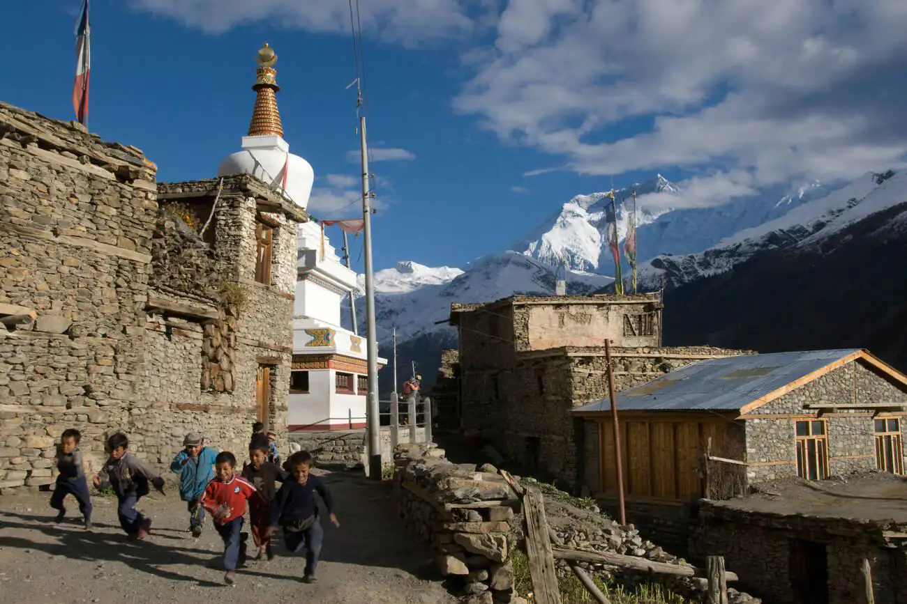
- This stage marks a significant change in the landscape as you enter the Manang district. The trail climbs steadily, leading you through dense pine and oak forests. Bagarchhap, a small village with a traditional Tibetan influence, provides a glimpse into the region’s cultural richness.
Stage 4: Bagarchhap to Chame
- Distance: 11 km
- Estimated Time: 5 hours
- Altitude: 2,160 meters to 2,710 meters
- As you trek from Bagarchhap to Chame, the altitude gradually increases. The trail offers beautiful views of Lamjung Himal and Annapurna II. This stage is moderately challenging, with some steep sections. Chame, the district headquarters of Manang, offers good facilities and serves as an excellent place to rest.
Stage 5: Chame to Pisang
- Distance: 16 km
- Estimated Time: 6-7 hours
- Altitude: 2,710 meters to 3,300 meters
- This stage is one of the most scenic parts of the Annapurna Circuit Trek. The trail takes you through a narrow, steep-sided valley and across the Marsyangdi River multiple times. As you approach Pisang, the landscape opens up, revealing expansive views of the surrounding peaks, including Annapurna II and Pisang Peak.
Stage 6: Pisang to Manang
- Distance: 19 km
- Estimated Time: 7-8 hours
- Altitude: 3,300 meters to 3,540 meters
- A trek between Pisang and Manang is a beautiful and tiring sight. The hiking route until these two places has two different paths; the lower one along where Marsyangdi River flows, while the upper one, which is more complex, allows you to see the Annapurna range entirely. Therefore, Manang is essential for acclimatization since many things can be done there, such as visiting Gangapurna Lake or the vintage Braga Monastery.
Stage 7: Manang to Yak Kharka
- Distance: 10 km
- Estimated Time: 4-5 hours
- Altitude: 3,540 meters to 4,020 meters
- After a few days in Manang, the trek continues to Yak Kharka. The altitude gain becomes more pronounced, and the air becomes thinner. This stage involves a gradual climb through alpine landscapes, with yak pastures and juniper bushes dotting the trail. Yak Kharka is a small settlement that provides basic lodging and stunning views of the surrounding peaks.
Stage 8: Yak Kharka to Thorong Phedi
- Distance: 7 km
- Estimated Time: 4-5 hours
- Altitude: 4,020 meters to 4,450 meters
- The trail from Yak Kharka to Thorong Phedi is relatively short but challenging due to the high altitude. You will cross several streams and traverse narrow ridges. Thorong Phedi is the base camp for the Thorong La Pass, the trek’s highest point. Trekkers often rest here to acclimatize before the demanding climb over the pass.
Stage 9: Thorong Phedi to Muktinath via Thorong La Pass
- Distance: 16 km
- Estimated Time: 8-10 hours
- Altitude: 4,450 meters to 3,800 meters (Thorong La Pass at 5,416 meters)
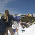
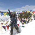
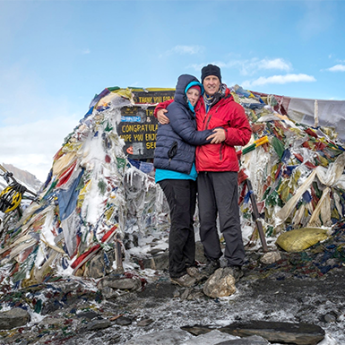
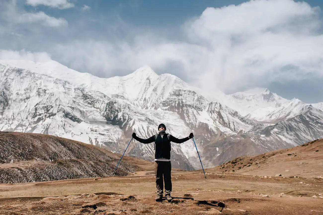
- The most demanding phase of the Annapurna Circuit is the Thorong Phedi to Muktinath hike. At dawn, there’s a long and steep climb up to Thorong La Pass, which marks the highest point of this trek, at a staggering altitude of 5416 m above sea level. The scenery from the summit is fantastic since it offers an overview of the Annapurna and Dhaulagiri ranges. The path to Muktinath is long and steep, but reaching the revered temple makes you forget all the suffering.
Stage 10: Muktinath to Jomsom
- Distance: 20 km
- Estimated Time: 6-7 hours
- Altitude: 3,800 meters to 2,720 meters
- The last leg of the trek will take you from Muktinath to Jomsom. Unlike previous high-elevation scenes, the trail drops down through Kali Gandaki, the deepest gorge on the planet. This trek ultimately leads into Jomsom, a lively settlement with an airstrip that serves as a take-off point for flights returning to Pokhara.
Essential Locations on the Annapurna Circuit Trek Map
Trekking the Annapurna Circuit exposes you to a rich tapestry of landscapes, cultures, and historical landmarks. Knowing the critical locations on the Annapurna Circuit Trek Map is vital for maximizing your experience. This guide outlines essential starting points, endpoints, rest areas, accommodations, emergency facilities, and noteworthy cultural and natural sites.
Starting Points and Endpoints
- Besisahar: As the typical starting point for the Annapurna Circuit, Besisahar welcomes trekkers with its access from Kathmandu and introduces them to Nepal’s rural beauty.
- Nayapul: Trekkers often start at Nayapul for a condensed version of the circuit, which thrusts them directly into the Annapurna range’s core.
- Jomsom: Jomsom frequently serves as an endpoint for those not trekking the entire circuit. It provides convenient flights back to Pokhara after the challenge of the Thorong La Pass.
Rest Stops and Tea Houses
- Manang: Located before the daunting Thorong La Pass, Manang is an essential stop for acclimatization. It offers a variety of tea houses and guesthouses and acts as a cultural hub that reveals the unique lifestyle of mountain communities.
- Thorong Phedi: Positioned strategically before the ascent to Thorong La, this location features several lodges that support trekkers preparing to conquer the pass or recovering afterward.
Emergency Facilities
- Health Posts: Strategically placed health posts, including those in Manang and Pheriche, provide essential medical services and advice on dealing with altitude sickness.
- Rescue Services: In severe emergencies, trekkers can access helicopter rescue services from significant points along the trek to ensure safety and prompt medical attention.
Cultural and Natural Sites of Interest
- Muktinath Temple: This sacred site greets trekkers after they cross Thorong La, offering spiritual solace with its 108 bull-faced spouts that symbolize sacred water elements.
- Braka Monastery: Located close to Manang, this ancient monastery attracts visitors with its religious importance and stunning murals.
- Tilicho Lake: As one of the world’s highest lakes, the trek to Tilicho Lake is a favored detour that rewards breathtaking alpine views.
- Poon Hill: Depending on your trek direction, Poon Hill is either a starting point or a climactic end, famed for its sunrise panoramas over the Annapurna and Dhaulagiri ranges.
Hot Springs: Tatopani’s hot springs near the circuit’s conclusion offer the perfect remedy for sore muscles after extensive trekking days.
Essential Guide to Using the Annapurna Circuit Trek Map: Safety, Navigation, Access, and Permits
An effective Annapurna Circuit Trek Map should help you plan trekking in the Annapurna Circuit. It includes crucial hints about safety, navigation methods, access information, and the papers needed for this adventure.
Safety Tips and Navigation
Using Your Map Effectively
- Stay Current: Always check that you have the most recent version of the Annapurna Circuit Trek Map before you set out. Trail routes may alter due to natural occurrences or upkeep efforts.
- Learn Map Symbols: Know the symbols on your map that mark rest stops, water sources, and elevation changes to navigate accurately during your trek.
Preventing Altitude Sickness
- Acclimate Wisely: Limit your daily ascent to 300-500 meters once you surpass 3,000 meters and plan rest days, especially in areas like Manang or around 3,500 meters.
- Monitor Symptoms: Stay alert to signs of altitude sickness, such as headaches, nausea, and dizziness. If these symptoms do not improve, descend to a safer, lower altitude.
Weather Considerations
- Monitor Weather Updates: Monitor local weather forecasts, as mountain conditions can shift unexpectedly.
- Dress Appropriately: Equip yourself with waterproof and high-quality cold-weather garments since temperatures can fall drastically in the evenings and early mornings, particularly at higher elevations.
Necessary Permits
- Annapurna Conservation Area Permit (ACAP): This permit is essential for entry into the Annapurna region and contributes to conservation and maintenance efforts within the area.
- Trekkers’ Information Management System (TIMS) Card: This card, which is obligatory for all trekkers in Nepal, improves trekkers’ safety and security. Tourism Board Offices in Kathmandu or Pokhara are where you can get it.
Accommodation and Supplies on the Annapurna Circuit Trek
Understanding where to stay and how to resupply is crucial when navigating the Annapurna Circuit using the Annapurna Circuit Trek Map. This guide provides targeted advice on securing comfortable accommodations and ensuring you have all the essentials for each trek leg.
Accommodation Options Along the Trek
Tea Houses and Lodges
- Wide Availability: The Annapurna Circuit boasts a robust network of tea houses and lodges, ensuring trekkers can access comfortable and budget-friendly accommodations. These facilities are well-distributed across the trekking route, allowing regular rest and recovery.
- Facilities Offered: While most tea houses provide basic amenities like beds, blankets, and communal bathrooms, facilities in larger towns such as Manang or Jomsom may include private rooms, hot showers, and even Wi-Fi connectivity.
- Variable Costing: The cost of accommodation typically increases with altitude. Lodgings at lower elevations are generally cheaper, while higher up in the mountains may charge more due to their remote locations and the additional logistics involved.
Strategic Accommodation Locations
- Besisahar: As the gateway to the Annapurna Circuit, Besisahar offers a range of lodges and guesthouses perfect for your first night.
- Manang: Essential for acclimatization, Manang provides diverse lodging options catering to various budgets. Utilize your stay here to explore the local area and adjust to the higher altitude.
- Thorong Phedi: This key location offers several lodges, which provide a base for preparing for the ascent over the challenging Thorong La Pass.
Conclusion: The Essential Role of an Annapurna Circuit Trek Map
Preparation is a must for successful trekking, and a good Annapurna Circuit Trek Map is needed to navigate this complicated but rewarding route. It is not just any guiding material but a precious companion throughout your trek, as it contains necessary information concerning every stage of your odyssey.
Experienced trekkers understand how essential it is to have a detailed map. It helps in planning day-wise moves, predicting challenging routes, pinpointing important locations for resting, and taking refreshments. Choosing between traditional paper maps or up-to-date digitized counterparts will not make a difference. However, having them enables you to keep going straight ahead and make informed decisions, especially for the less frequented parts of the Annapurna Circuit.
Carrying a map as part of your essential trekking gear is not merely advisable but necessary. It boosts your safety, prevents you from losing your way, and enhances your trekking experience, enabling you to thoroughly enjoy the breathtaking vistas and rich cultural sites along your route.